Showing posts with label waterfall. Show all posts

Monday, August 12, 2019

Trail heads up verdant canyon to waterfall

The Murray Canyon Trail includes a few balanced rock crossings of a stream.
Murray Canyon Trail map.
Click for larger version.
Day hikers can head to a waterfall in the San Jacinto Mountains just outside of Palm Springs on the Murray Canyon Trail.

The secluded walk to Seven Sister Falls is a 4.1-mile out-and-back. One of four canyons in the Agua Caliente Indian Canyons, this trail goes deeper and higher into the San Jacintos than the neighboring Andreas Canyon Trail. A great winter hike, it sports a 450-foot elevation gain.

To reach the trailhead, from downtown Palm Springs, take S. Palm Canyon Drive south to Indian Canyons. Once past the entrance station, when the road splits go right/southwest. The road dead ends at the Andreas Canyon Trailhead parking lot. From the lot, walk south into the oasis and veer left/east. The Murray Canyon Trail leaves from the oasis’ southeast side.

The first mile is a footpath in open desert across a sandy wash. Small cacti, scrub brush, and lizards highlight this stretch. Along the way, at 0.4 miles, you’ll reach a trail junction; go right-straight/south.

The trail at 0.8 miles arrives at a thick grove of palms hugging Murray Creek. You’ve reached Murray Canyon proper. Head down a few switchbacks to the creek into the oasis. Shortly after that point, about a mile in, is a junction for the Coffman Trail, a side trail; go right/west to stay on the main route.

This verdant canyon boasts California fan palms, cottonwoods and desert willows, and this shaded canopy and the stream helps cool the desert temperatures. Grasses and flowers – California fuchsia, desert sunflowers, and desert lavender – fill the understory and open spots. Fascinating rock outcroppings rise along the stream and the canyon’s sides. With the sound of running water and chirping songbirds, you’ll think you’re on a tropical island rather than in a desert.

The trail does cross Murray Creek several times, requiring you to balance yourself on rocks. The crossings increase with frequency as the canyon narrows. If the creek is high during the snowmelt, expect to get your feet a little wet.

At 1.6 miles in, the trail comes to another junction; this is the other end of the Coffman Trail. Go right-straight/south. A brief portion of the next stretch of the trail is steep.

Endangered Peninsular Big Horn Sheep as well as mule deer and other wildlife sometimes can be spotted on the cliffs above the canyons, so be sure to look up. This also is an equestrian trail, so hikers should yield to passing horses.

The trail’s destination – Seven Sisters Falls and its pool – arrives at 2.1 miles. Sometimes referred to as Murray Canyon Falls, the waterfall is a stair step cascade. One step falls about 15-20 feet then a pair of falls each plunges about 10-15 feet. The waterfall is seasonal.

After taking in the waterfall, retrace your steps back through the canyon to the parking lot. For some additional scenery, you can take the Coffman Trail, which you gives a slightly elevated view of the canyon below. It adds 0.6 miles to the hike.

With a significant portion of the trail open to the sun, always don sunscreen and sunhat as well as bring plenty of water. Also, be forewarned that rattlesnakes have been spotted on the trail during hot weather.

As part of Indian Canyons, there is an entry fee to hike the trail. It is a popular route in winter, especially during the snowmelt when the waterfall enjoys its heaviest flow, so during that time of the year, get there early in the morning to avoid crowds.


Friday, July 1, 2016

Short hike heads to 25' falls in Northwoods

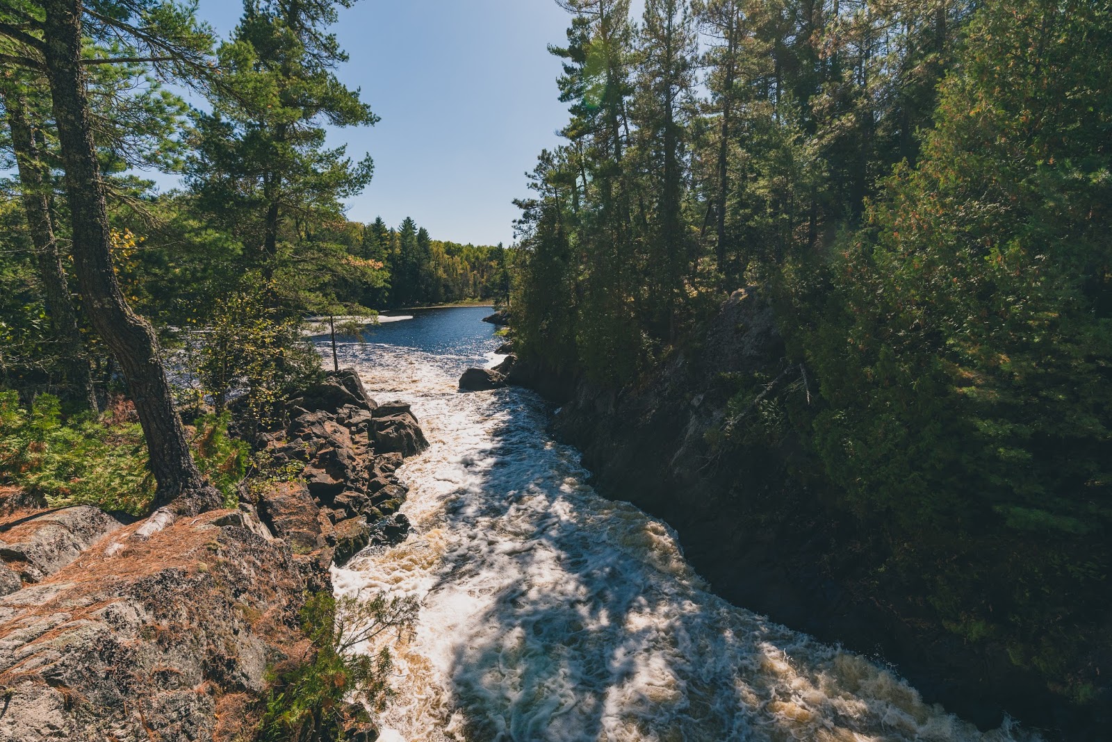
The Vermilion River roils 25 feet down rapids and a small drop.
Vermilion Falls Trail map. Courtesy of U.S. Forest Service.
Day hikers can enjoy one of the few waterfalls in or near Voyageurs National Park on the Vermilion Falls Trail.

The trail to the falls is an effortless walk. Fortunately, the sight makes for easy lingering given the long drive to the falls.

To reach the trailhead, from U.S. Hwy. 53 in Orr, Minn., head north on County Road 23 for about 15 miles. In Buyck, take County Road 24 north then turn left onto Forest Road 491. Drive 5.45 miles. You’re driving through the Superior National Forest and closing on the Vermilion Falls Recreation Area. Turn right/south onto the road heading to the Vermilion Falls Overlook and park at the lot along the loop. If you’ve crossed the Vermilion River, you’ve driven too far.

From the lot, a short handicap accessible trail heads south over a wooden boardwalk to an observation deck above the falls. It is about 0.25 miles round trip.

The Vermilion River tumbles 25 feet over rapids and a large slope through a 10-foot wide gap in the rock.

Smallmouth bass abound in the river below the falls. Crappies, northern pike and walleyes also can be found in the river, which flows out of Lake Vermilion for 40 miles to Crane Lake.

After taking in the falls, head back to the lot. Before reaching it, however, do some of that lingering by turning left/west onto the rugged portage trail. Slightly shorter than the trail to the falls at 0.2-miles round trip, it takes hikers to a scenic view of the river above the falls.

Returning to the falls trail, continue straight/east onto the river trail. The route runs downstream from the falls.

In about 0.25 miles, the river trail meets Forest Road 491. Here on the opposite shore of the river is an extensive wild rice bed. Its shoots usually peak above the water around mid-July. Wild rice actually is an aquatic grass; both people and local wildlife enjoy its seeds and harvest it in late August through October.

Cross the forest road and continue the trail north for about 0.1 miles to The Chute. This is a constriction in the river, forming a Class III-V rapids. Sometimes you pass canoeists on the trail using it as a portage around the rocks.

The trail ends just a little past the rapids; from there, retrace your steps back to the parking lot. In total, you’ll have walked 1.45 miles between the falls, portage and river trails.

A small picnic area and toilets are available along the trail.

Learn more about nearby day hiking trails in my Best Sights to See at Voyageurs National Park guidebook.


Thursday, September 12, 2013

‘Hikes’ author’s article appears in Seattle Backpackers Magazine

My article about day hiking to Big Manitou Falls – Wisconsin’s highest waterfall and the fourth highest east of the Rockies – appeared in this week’s Seattle Backpackers Magazine. The waterfall is located in Pattison State Park a few miles south of Superior. The article is available online.

Read more about family friendly day hiking trails in my Headin' to the Cabin guidebooks.


Thursday, September 6, 2012

Trail heads to Wis.' second highest waterfall

Morgan Falls' bottom.

Morgan Falls tumbles 80 feet
on national forest hike


An 80-foot waterfall and impressive vista with views 20 miles around await cabin-goers south of Ashland, Wis.

The Morgan Falls St. Peter’s Dome Trail in the Chequamegon-Nicolet National Forest actually can be broken into two trails depending on your time and energy. The first 0.6 miles of the trail heads to Morgan Falls (for a 1.2-mile round trip), or you can continue another 1.2 miles to the top of St. Peter’s Dome (for a 3.6 mile round trip). Late spring to early fall is the best time to walk the trail, but it’s also popular in winter for snowshoeing.

To reach the trailhead, take Hwy. 63 about 22 miles north of Cable. Turn east onto County Road E, driving six miles to Ashland-Bayfield Road (aka Forest Road 199). Turn south. It’s 4.2 miles to the parking lot. Watch for the trailhead sign at the parking lot. Either a day pass or an annual forest pass is needed to travel to the trailhead.

Historic sites
The first portion of the trail is fairly flat and graveled and even accessible for people with disabilities. After a half-mile walk through a wooded area, Morgan Falls – Wisconsin’s second highest waterfalls – comes into view. The water zigzags some seen dozen feet down a rock face before splashing into a small pool. It overflows the pool falling another eight feet in different streams down a crooked granite to the bottom in an intimate setting.

Be forewarned: During drought years, the water flow can be a little better than a trickle.

If continuing on to St. Peter's Dome, the trail gets a little more rugged, becoming a dirt path cutting over roots and stones across shallow creeks. The autumn colors are impressive, and in spring wildflowers including the large-flowered trillium, violets and Dutchman’s-breeches dot the undergrowth and trail sides.

Other sites are located on the way. Among them is a circular stone cistern built at an abandoned Civilian Conservation Corps campground constructed during the 1930s. A stone quarry from the mid-20th century (red granite is used to make countertops) also exists; it also is no longer in operation.

Lake Superior from 20 miles away
A number of rare ferns are situated along the trail. Among them are Braun’s hollyfern woodfern and northern maidenhair fern. Hemlock and Canada yew also abound in large patches.

The trail does become steep as ascending St. Peter’s Dome, which sits 1,565 feet above sea level. Atop this ancient formation of red granite, Chequamagon Bay in Lake Superior is visible from 20 miles away on clear and dry days. With binoculars, you also might be able to spot the Michigan Island lighthouse, about 33 miles away, if you look northeast through a gap in the trees.

The vista is a massive red granite dome that began to form some 1.2 billion years ago. Magma crystallized underground, mixing with quartz and feldspar, which give the granite a pink to orange coloring. Weathering over the eons has brought the granite “above” ground.

From the dome top, take the same route back to the trailhead.

Read more about family friendly day hiking trails in my Headin' to the Cabin guidebooks.