|
John Oliver cabin, built in 1822-23 at Cades Coves, Great Smoky Mountains
National Park. Courtesy of By I, Bms4880, CC BY 2.5 /Wikipedia Commons. |
Pioneer cabins, mills await on short day hikes
A number of great day hikes allow visitors to explore the Great Smoky Mountain National Park’s rich history.
The area that now makes up Great Smoky Mountains National Park has been long inhabited by Native Americans. One projectile found in the park dates to 9000 years ago.
When white settlers arrived in the late 1700s, Cherokees were the dominant tribe. They called the Great Smoky Mountains
Shaconaqu or “place of blue smoke.”
As homesteaders settled the Great Smoky Mountains, the Cherokees viewed them as encroachers; after violence erupted, the Army intervention ensued. Following the Treaties of 1798 and 1819, Cherokees were forced to give up the mountains.
Then in 1838, the Army forcibly captured and moved Cherokees who refused to leave the Great Smokies. An estimated 4000 Cherokees died on the Trail of Tears in the relocation to Oklahoma. Still, some legally remained and became the Eastern Band of Cherokees.
Pioneers
White settlers of the Great Smoky Mountains mostly were of Scotch-Irish, English and German descent. Oconaluftee and Cades Cove were the first communities established. The
John Cable Mill Trail allows visitors to see several historic buildings at Cades Cove.
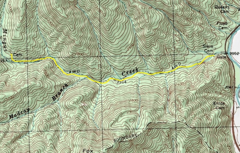
Before electricity, people depended upon water wheels to power grist mills. The Mingus Mill, built in 1886, still stands today and can be seen via the
Mingus Creek Trail, which heads along its namesake in North Carolina. When done hiking, drive a half-mile south of the trailhead to the
Mountain Farm Museum and explore a farmhouse, barn, applehouse, springhouse, and smokehouse also all built in the 19th century.
Lumber companies followed in the late 1800s – some areas communities such as Smokemont, Tremont, Ellmont and Proctor initially were company towns – and they found great riches to be had. Some trees were so large that a single trunk filled a railcar.
Clearcutting left erosion and wildfires in its wake, however. As the primeval forest disappeared, a movement to preserve it arose. In 1923, businessman Willis Davis and wife Anne, who served in the Tennessee Legislature, proposed that the area be preserved as a national park. Congress authorized creation of the park three years later.
To actually have a national park, though, required the monumental task of purchasing 6000 separate tracts of land that would comprise the park. The effort quickly began in earnest during the 1920s.
Modern park
By the 1930s on the sections of land purchased and preserved as a national park, the Civilian Conservation Corps constructed trails, fire towers, and other infrastructure. The
Appalachian Trail later was built through the park on its way between Maine and Georgia.
One of the great ecological disasters in the park occurred during the first-half of the 20th century when blight, due to a fungus accidentally introduced from Asia, quickly wiped out whole groves of chestnuts. By the 1940s, the blight had destroyed about 4 billion trees nationwide. The
Cades Cove Nature Trail heads through an area in which chestnut trees once towered.
The park received a boost in public interest during the 1950s when Disney filmed parts of its popular television series “Davy Crockett, King of the Wild Frontier” there.
During the early 2000s, park officials reintroduced a herd of elk to the park. Native elk had not graced the park since the late 1700s when overhunting and habitat loss doomed them in the Great Smoky Mountains. Today, the elk can be see at the trailhead for the
Big Fork Ridge Trail.
Learn about other great trails at this national park in
Best Sights to See at Great Smoky Mountains National Park.