Trails are marked in yellow on the maps. Click each map or open it a new window for a larger, printable version.
National park road map (map courtesy of NPS):

Chimney Tops Trail near Gatlinburg, Tenn.:

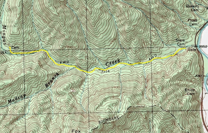
Mingus Creek Trail segment near Blue Ridge Parkway:
Rainbow Falls Trail opening segment, Gatlinburg:

Rainbow Falls Trail middle segment:

Rainbow Falls Trail waterfalls segment:

Learn about other great national park day hiking trails in my Best Sights to See at America’s National Parks guidebook.
