 |
| The Ice Age Trail heads toward East Lake. |
 |
| Ice Age Trail - East Lake Segment. Click for larger map. |
The 13-miles round trip makes for a spectacular autumn hike. It’s also a great trail to arrange a shuttle ride given its length and because there are parking lots at each end.
To reach the trailhead, from Medford take Wis. Hwy. 13 north about 15 miles. After crossing the Black River, look for a wayside on the road’s right/east side. Park there.
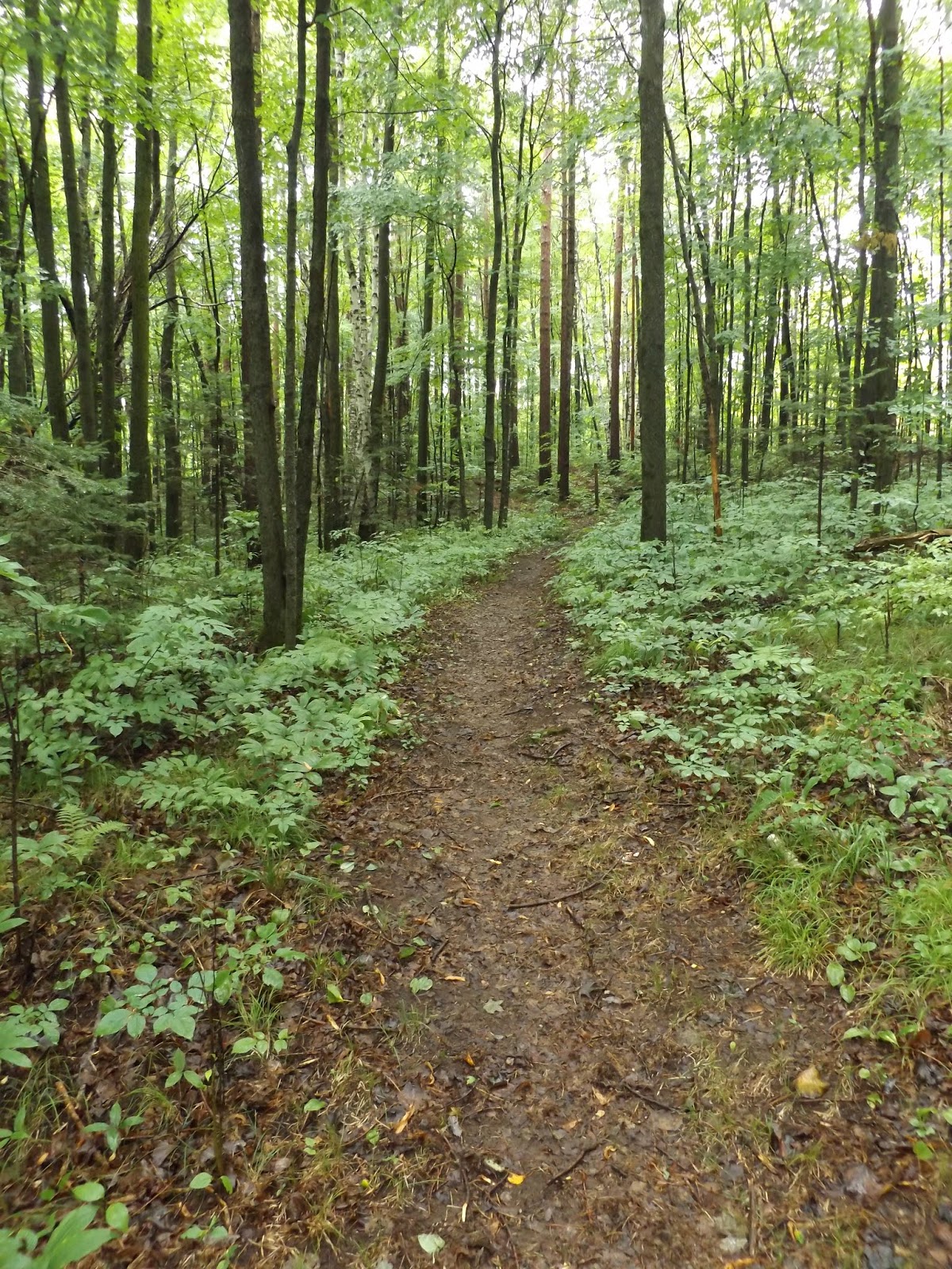
The trail heads east from the wayside into the Taylor County Forest. The hilly forest mainly consists of mixed hardwoods with maples and oaks, making for yellow, orange, red and brown leaves throughout autumn. Signs along the trail identify types of trees in the forest.
Hemlocks and aspen
Taylor County sits in a beltway where the agricultural southern part of the state gives way to the pine forests of the northern part. Between those two regions is a transition zone of maple-dominated forests and evergreens.
Among those evergreens is hemlock, and at about 0.7 miles the trail enters a pretty grove of them. A medium-size tree that was far more common in the state when Euro-American pioneers came here in the mid-1800s, hemlock usually grows up to three stories tall. Its scaly, deeply furrowed bark usually is gray to brown and usually the forest floor beneath its boughs is barren.
Flowing from the grove during spring is an intermittent stream that feeds the Black River. The trail is near the headwaters of the river, which runs nearly 200 miles to the southwest until joining the Mississippi River.
Next, the trail enters an aspen regeneration project area. The quaking aspen’s bright yellow leaves in autumn are a nice contrast to the hemlock’s green. A popular pulpwood, aspen faces threats from hypoxylon canker and the evolving forest as Wisconsin’s second growth woodlands begins to transition to an old growth forest. Because of these three factors, the amount of aspen in Wisconsin has decreased since the early 1980s.
At about 1.4 miles, the trail crosses Beards Lane and enters private land. That land is closed during the November deer hunting season, so you’ll want to plan a hike here during the other months.
Ice age terrain
The Ice Age Trail marks the edge of the glacial advance when ice sheets were last in these parts, about 8000 BCE. The trial stretches more than 1100 miles long across the state and largely cuts northeast-southwest through Taylor County.
Much of the trail consists of rolling glacial terrain. The small knolls or mounds, known as hummocks, usually are no more than 15 feet high. They often form near kettle lakes. At 2.4 miles, the tail passes one small kettle and then at about 3.2 miles pass another, East Lake.
Hummocks and kettle lakes formed at the end of the last ice age when the top icy layer of the glacier melted, leaving a strata of sediment piled atop a massive chunk of ice. The weight of that chunk depressed the ground, forming a bowl that the ice then melted in. The sediment above the ice sunk to the kettle lake’s bottom while plants colonized and stabilized the surrounding sediment, forming the hummocks.
After East Lake, the forest becomes less hilly as you begin the climb to top of Moose Mountain. Erratics – large boulders that advancing glaciers sheared off and carried here from Canada – are all across the mountain and surrounding area.
Around 5 miles in, the trail reaches Moose Mountain’s top, about 1780 feet above sea level. From there, you’re treated to panoramic views of the surrounding forest – which appears in a rainbow of harvest colors during autumn – and the Ice Age-shaped terrain.
The trail then descends and at about 6.5 miles arrives at County Road D. This part of the trail overlaps with the Rib Lake Nordic Ski Trail network.
Pine Line segment
Another great segment of the Ice Age Trail to hike is nearby. The Pine Line segment runs a short 0.9 miles one-way from the parking area at the Fisher Creek Road/Fawn Avenue intersection to Wis. Hwy. 13.
To reach the trailhead, from Medford take Wis. Hwy. 13 north about 13 miles. Turn left/west onto North Chelsea Avenue then go right/north on Fischer Creek Road. Park off the road at the intersection of Fawn Avenue.
The trail heads east. After crossing the Pine Line multi-use trail, it runs alongside a farm field with a forest on the north/west side.
About halfway from in, the trail enters the forest. At 0.6 miles is a small clearing in the woods that’s a primitive campsite built by local Boy Scouts.
Turn back when the trail reaches Hwy. 13. If looking for a longer walk, head north about 0.7 miles along the road shoulder to the wayside where the East Lake segment begins.
